Carte de Brugelette
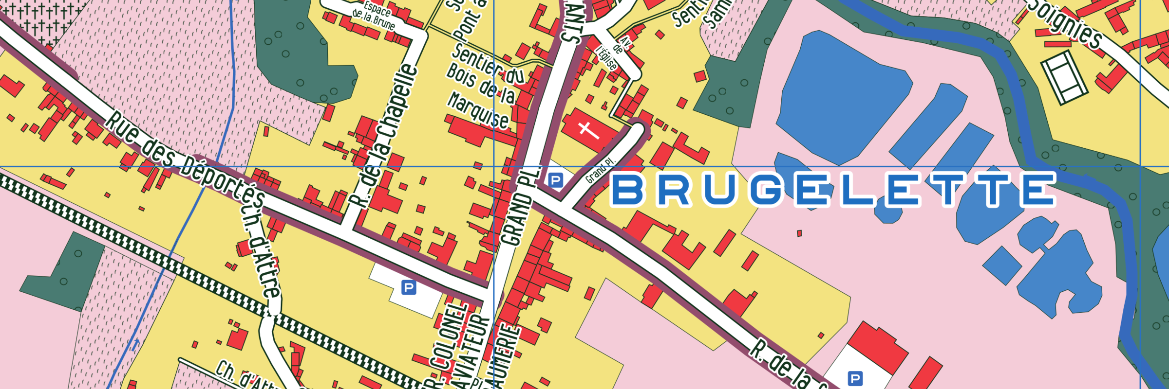
 The map of Brugelette is a printed map produced from OpenStreetMap
(OSM) data, which was updated as part of a participatory participatory
process.
The map of Brugelette is a printed map produced from OpenStreetMap
(OSM) data, which was updated as part of a participatory participatory
process.
 The 'Opération de Développement rural'(Rural development operation)
from Brugelette came with the map publishing project. It is one of the
concrete outcomes of the project "Déplacements au fil de la
Dendre"(Moving along the Dendre river).
The 'Opération de Développement rural'(Rural development operation)
from Brugelette came with the map publishing project. It is one of the
concrete outcomes of the project "Déplacements au fil de la
Dendre"(Moving along the Dendre river).
 Its production is the result of a collaborative effort: initiated by
the Commission locale de Développement rural (CLDR), financed by the
Commune coordinated by the Fondation Rurale de Wallonie, completed by
the citizens
Its production is the result of a collaborative effort: initiated by
the Commission locale de Développement rural (CLDR), financed by the
Commune coordinated by the Fondation Rurale de Wallonie, completed by
the citizens
 (CLDR, CCATM, Maison des Jeunes, Accueil extrascolaire, etc.), and
published by Champs libres in partnership with Spec uloos and Atelier
Cartographique.
(CLDR, CCATM, Maison des Jeunes, Accueil extrascolaire, etc.), and
published by Champs libres in partnership with Spec uloos and Atelier
Cartographique.
Client :
Commune de Brugelette
Partners :
Champs-Libres, Spec uloos
Timeframe :
2019
Technologies :
Carto CSS, Mapnick, Inkscape, Indesign
Data sources :
OSM